Kezdőlap » Historical coat of arms of Győr County
Historical coat of arms of Győr County
(German: Komitat Raab, Latin: Comitatus Jauriensis, Jaurensis, Arabonensis, Arraboniensis, Javariensis, Raab, Slovak: Rábsky komitát) was an administrative unit in the Transdanubian part of the Kingdom of Hungary. The area is now divided between Hungary and Slovakia. Its center was Győr.
Coat of arms
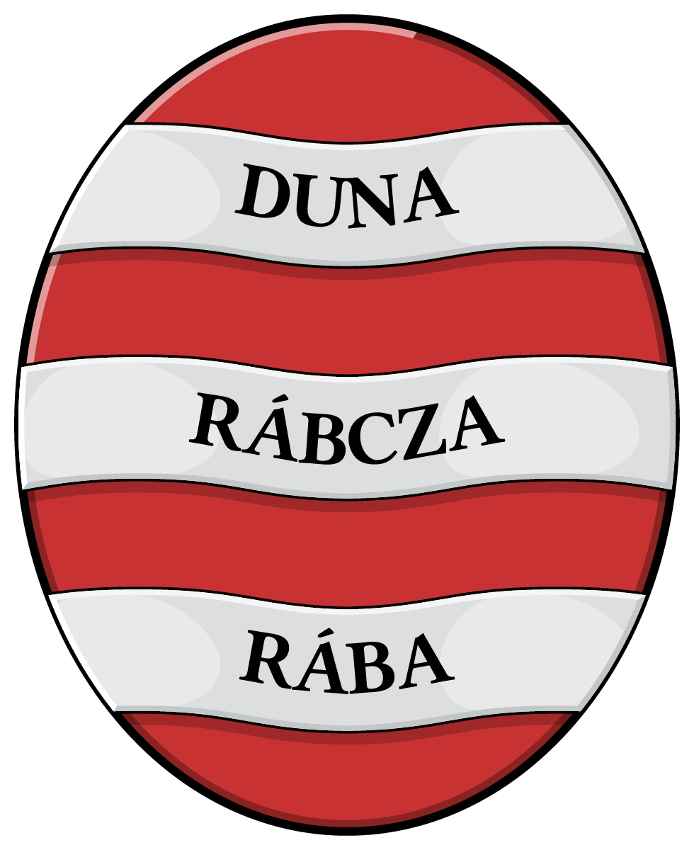
The silver ribbons of the coat of arms of Győr County depict the waters of three rivers, the Danube, Rábca and Rába.
Győr County
One of the oldest Hungarian counties. King St. Stephen appointed the German knight Győr (Geur) as the ispán of Győr. He is the ancestor of the Győr clan, and also the name of the city and the county. The name of its ispán, which is considered authentic by all historians today, is first mentioned in 1177. In 1185, a charter of King Béla III of Hungary refers to the existing Győr city administration. The county documents from 1552 and the minutes of the noble assembly have been preserved continuously since 1580.
After the Turkish occupation of Székesfehérvár in 1543, the area of the county south of Győr became a Turkish possession. In 1593, the county had 493.5 portas with 859 taxing families, and between 1594 and 1598 the county was completely in Turkish hands.
According to the 1611 noble census, in Győr county there were: 147 persons with noble status, of whom 10 were church persons or bodies. 20 Győr armalist (landless) nobles, 41 Bajcsi and Bácsa predial (church) nobles, 30 village petty nobles, 4 rác nobles. The first mention of the position of subservient judge occurs in 1616. In 1619, the population of the county excluding the city of Győr was 150.25 porta, approx. 15,000 people. The first data on the position of a judge of the board was created in 1623.
In 1681, there were 123 armalists in Győr, 15 predialist nobles in the county, and 31 rural gentry, and in 1715, there were 8 nobles, 1,517 serfs, 418 squires, a total of 1,943 households in the county. Of these, 1,911 were Hungarian and 32 were German. In 1719, the population of the county excluding the city of Győr was approx. 13-14,000 people. Between 1785 and 1790, II. By order of King Joseph of Hungary, the counties of Győr, Moson, Komárom, Sopron, Vas, Veszprém, and Esztergom were merged under the name of Győr District with the seat of Győr.
During the Napoleonic Wars, between August and November 1809, the territory of the county, with the exception of Csilizköz, came under French occupation.
In 1888, the population of the county, excluding the city of Győr, was 109,493, and its area was 1,381.11 km². From 1918, the areas of the county north of the Danube became part of Czechoslovakia. In 1920, the population of the county, excluding the city of Győr, was 90,839, and its area was 1,397 km².
In 1923, the remaining areas in Hungary were merged with the also truncated counties of Moson and Pozsony, creating the administratively unified county of Győr, Moson and Pozsony for the time being, whose name became Győr-Moson County after World War II. This was merged with Sopron County during the 1950 county reorganization, thus creating Győr-Sopron County, which has been called Győr-Moson-Sopron County since 1990.
Original image source:
Internet
Text source: Wikipedia
The visual content of this website may be freely used under the terms of the Creative Commons 4.0 license, provided that the source is clearly indicated and the reference is included as a fully functional, clickable link pointing to https://cimerek.hu or the specific URL of the given content.