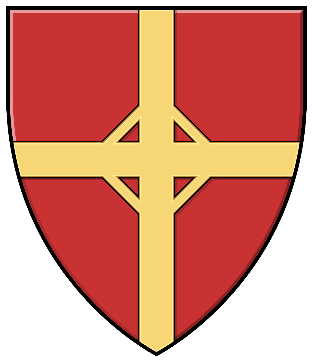
Coat of Arms of Budapest’s 6th District
Location:
Type:
Status:
Budapest’s 6th District
Among the districts of Budapest, the 6th District is the second smallest in area. Its traditional name, also used by the district municipality, is Terézváros (Theresa Town). The district is one of the busiest and most vibrant parts of Budapest, where elegant boulevards, historic buildings, and cultural centers meet lively urban life.
Budapest’s 6th District began to develop at the end of the 18th century and was named after Maria Theresa, the Habsburg ruler. In the 19th century, the dynamic growth of Pest made the district truly significant, as grand boulevards and bourgeois tenement houses were built. Around the turn of the century, Andrássy Avenue and its surroundings were among the most exclusive residential and shopping areas of the capital. The development of the district is closely connected to the formation of Budapest’s historic city center, and it has since continued to play a key role in the city’s cultural life.
The district is home to the Hungarian State Opera House, the Liszt Academy of Music, and several theaters, such as the Radnóti Theatre. Along Andrássy Avenue there are luxury shops, embassies, cafés, and restaurants. The area around the Opera House and Oktogon is among the busiest parts of the district.
Terézváros possesses rich architectural treasures, among which Andrássy Avenue and its surroundings stand out. Along Andrássy Avenue, 19th-century eclectic and Neo-Renaissance palaces line the street, many of which have preserved their original elegance to this day.
Location
It is one of the districts on the Pest side of the city. It is bordered by Budapest’s 13th District to the north, the 14th District to the northeast, the 7th District to the southeast, and the 5th District to the west.
At present, the area enclosed by Dózsa György Road, the overpass of the MÁV Vác railway line, Városligeti Fasor, Lövölde Square, Király Street, Deák Ferenc Square, Bajcsy-Zsilinszky Road, Nyugati Square, Váci Road, Lehel Street, Bulcsú Street, and the MÁV railway area is called Terézváros.
Its soil consists of river deposits (sand, gravel, and clay), as this area was once part of the floodplain of a former branch of the Danube (along today’s Grand Boulevard) and of the Rákos Stream. Its average elevation above sea level is 103–104 meters.
Accessibility
The 6th District can only be reached by road via Hencida or Biharkeresztes, using Road 4817. Although the M4 motorway passes through its administrative area, it has no interchange within the municipality; only a rest area is located near the northern edge of the village.
No railway line runs through the district. The nearest railway connection is provided by Biharkeresztes railway stationon the Püspökladány–Biharkeresztes line, located about 6 kilometers to the south.
Neighborhoods of Budapest’s 6th District
There are significant differences between various parts of the district (for example, between the villa quarter along Andrássy Avenue and the area around Nyugati Railway Station). The area west of the Nyugati Station – Grand Boulevard – Podmaniczky Street – Izabella Street line (toward the city center) is called Inner Terézváros, while the area east of it (toward City Park / Városliget) is Outer Terézváros, also known as Pacsirtamező. In real-estate advertisements, the elegant villa district bordered by Szondi Street – Dózsa György Road – Városligeti Fasor – Bajza Street is often referred to as the “Diplomatic Quarter” because of the many embassies located there.
Source: Wikipedia

The visual content of this website may be freely used under the terms of the Creative Commons 4.0 license, provided that the source is clearly indicated and the attribution includes a full, clickable link to https://cimerek.hu or to the exact web address of the specific content.